
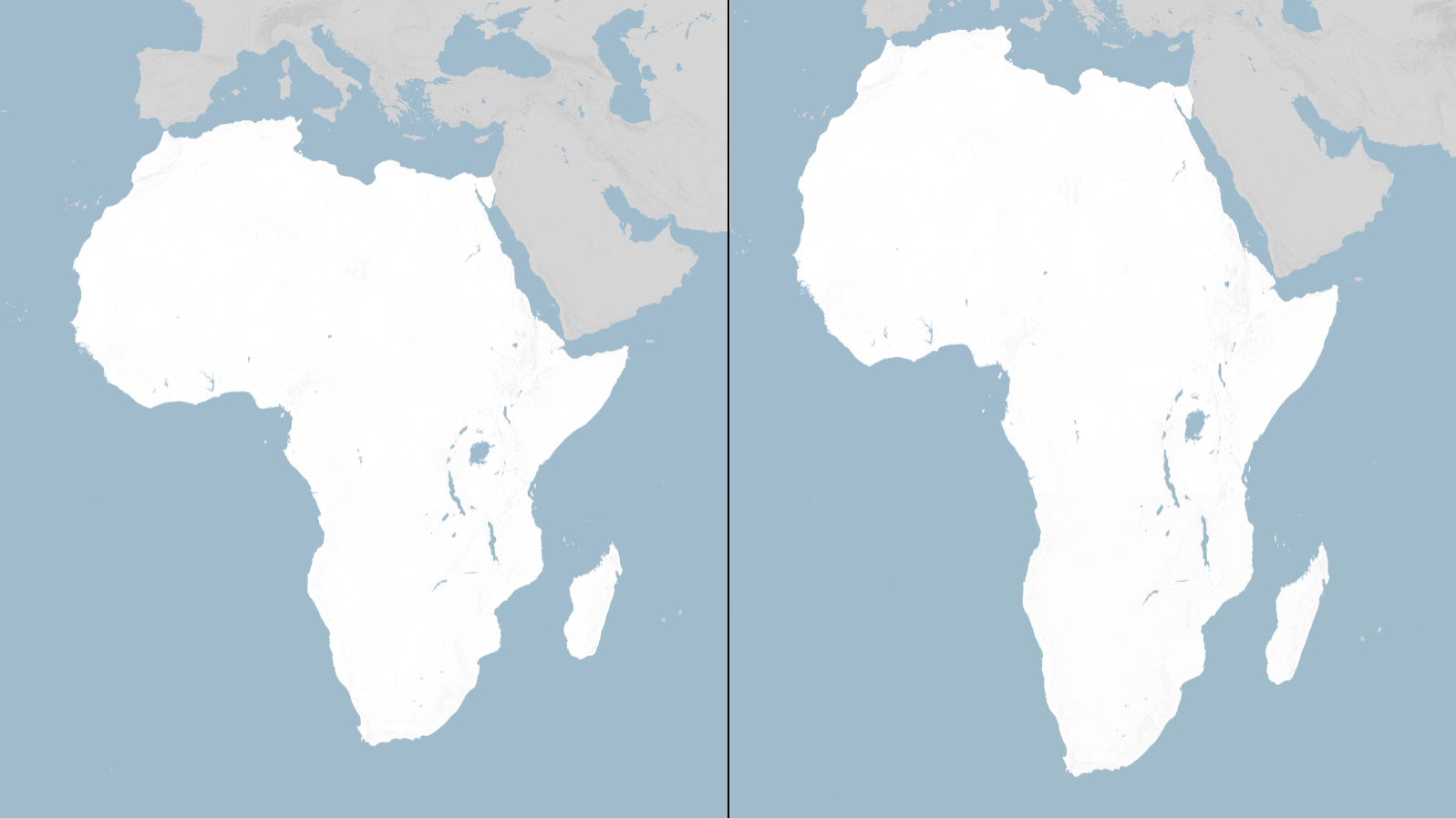
The United Nations General Assembly is set to vote on a resolution calling for the gradual replacement of the traditional Mercator world map with a map projection that more accurately represents the true size of Africa and other regions.
According to The Guardian, the resolution, sponsored by Togo and backed by all 55 members of the African Union, forms part of the #CorrectTheMap campaign, which seeks to address long-standing distortions in the way the world is visually represented.
The Mercator projection, developed by Flemish cartographer Gerardus Mercator in 1569, was designed primarily for maritime navigation. While useful for navigation, the projection significantly enlarges landmasses closer to the poles while making regions around the Equator appear comparatively smaller. As a result, Africa appears substantially smaller than its actual size when compared with countries and regions in the northern hemisphere. Greenland, for example, can appear similar in size to Africa on a Mercator map despite Africa being many times larger in land area.
READ: News: AU Pushes for Accurate World Maps to Correct Africa’s Undersized Depiction
The proposed alternative is the Equal Earth projection, developed in 2018 and designed to preserve the relative areas of continents and countries more accurately. Supporters argue that the issue goes beyond cartography, saying the widespread use of distorted maps has influenced how generations perceive the geographical scale and importance of different parts of the world. Critics of the Mercator projection have described its continued dominance as a form of “cartographic colonialism.”
The campaign has received backing from the African Union, which sees the initiative as part of broader efforts to challenge colonial-era representations and promote a more equitable understanding of Africa’s place in the world. France has also expressed support for the proposed change, citing scientific accuracy as well as the opportunity to address concerns associated with the historical representation of the world.
Although a UN General Assembly resolution would be non-binding, its adoption could encourage changes in educational materials, technology platforms and other applications where world maps are widely used. Togo is also expected to organise a follow-up meeting in Lomé in early 2027, involving UNESCO, the African Union and technology companies, to discuss implementation.
The debate comes at a time when questions about how Africa is represented globally are receiving renewed attention. For proponents of the campaign, showing the continent at its correct relative scale is not simply about producing a more accurate map—it is also about changing perceptions of Africa’s size, geography and global significance.
